|
|
|
|
Some background information regarding the Map to Geo program
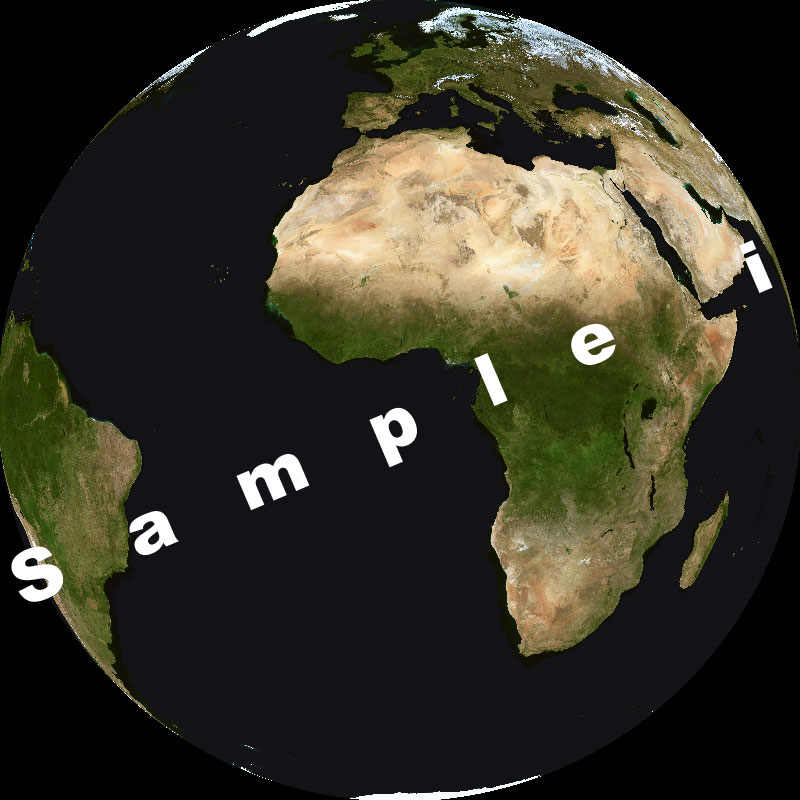
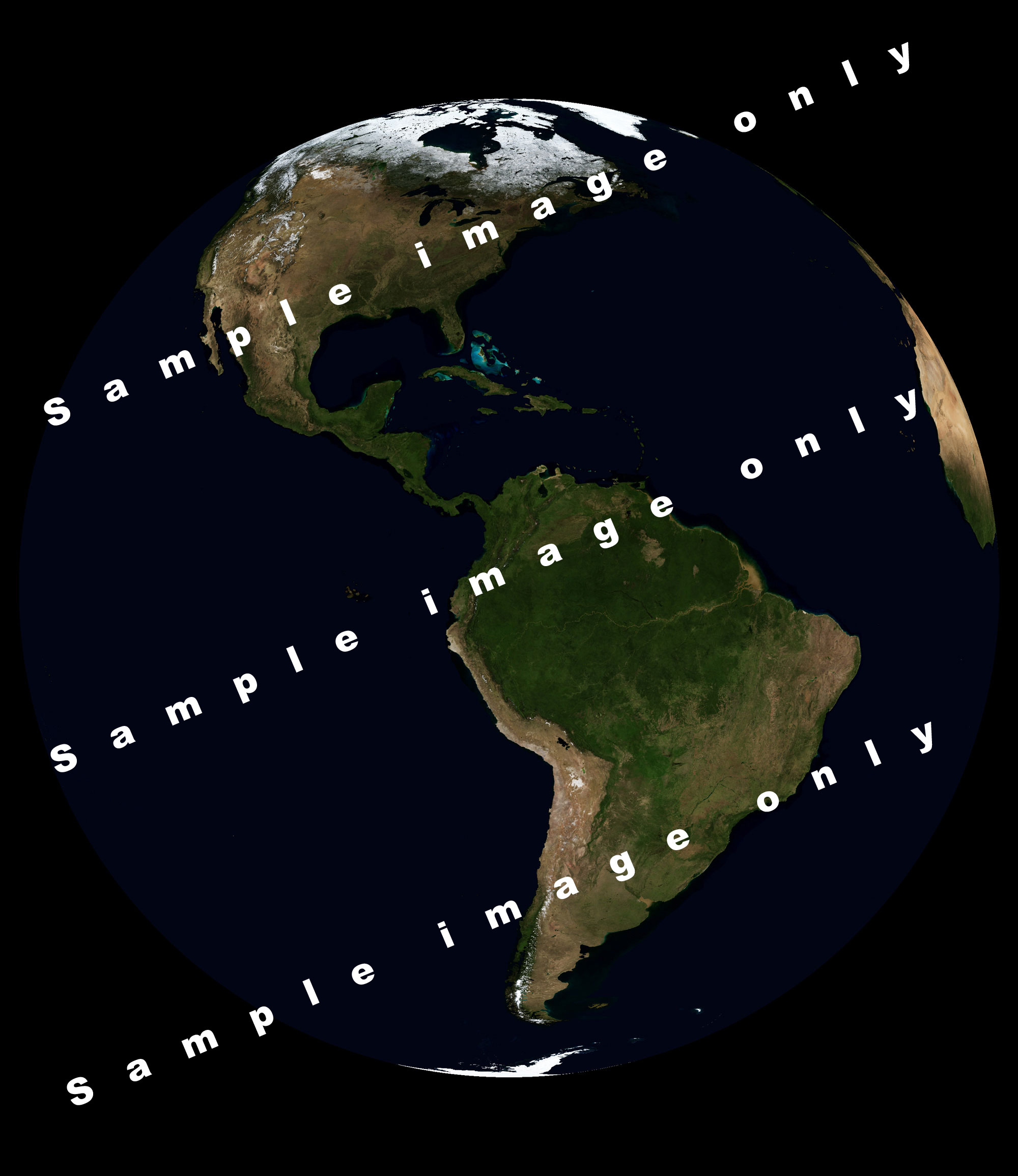
Recently the Earth Observatory Group of NASA in the person of Reto Stöckli has released a magnificent set of images of the whole earth based on data from both the Terra and Aqua satellite: the Blue Marble Second Generation. All images have been processed to eliminate virtually all cloud cover, something that has largely been successful but not yet fully. World views have been produced for each month of the year in three versions
World views are readily available with a resolution of 8 and 2 km/pixel . Although 500m data exists, due to its extremely large file size it is only available upon request. Please be aware that 2km resolution images are 21600 x 10800 pixels large and that the 500m resolution would constitute an image of 86400 x 43200 pixels, which can not be handled by present day PCs nor do programs allow image files of this size. The Blue Marble page can be found at http://earthobservatory.nasa.gov/Newsroom/BlueMarble/. Please read the notes concerning availability, data sizes and data usage. It occurred to me that this type of image data might be put to good use in the context of weather presentation if it were transformed to a background that could be handled with GeoSatSignal. David Taylor and I jointly worked out a new program called MapToGeo that offers exactly that. It offers the following functionality:
These image files will be recognized by GeoSatSignal if placed in the directory where that program resides. Provided that the “false colour=Background” option on the processing tab is set GSS will automatically select the corresponding Background upon opening any of the geostationary satellites and project for example the clouds over it. The MapToGeo program can be found at:: http://www.david-taylor.myby.co.uk/software/mapping.htm Below are some examples of images to underscore the usefulness of this new program.
[photogallery/photo9877/real.htm]
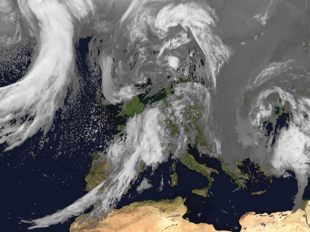
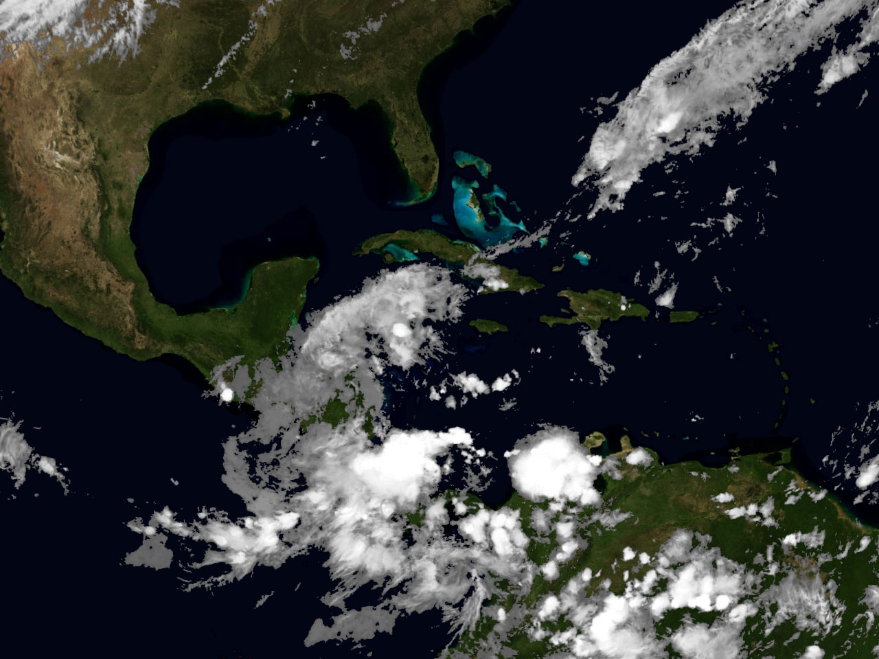
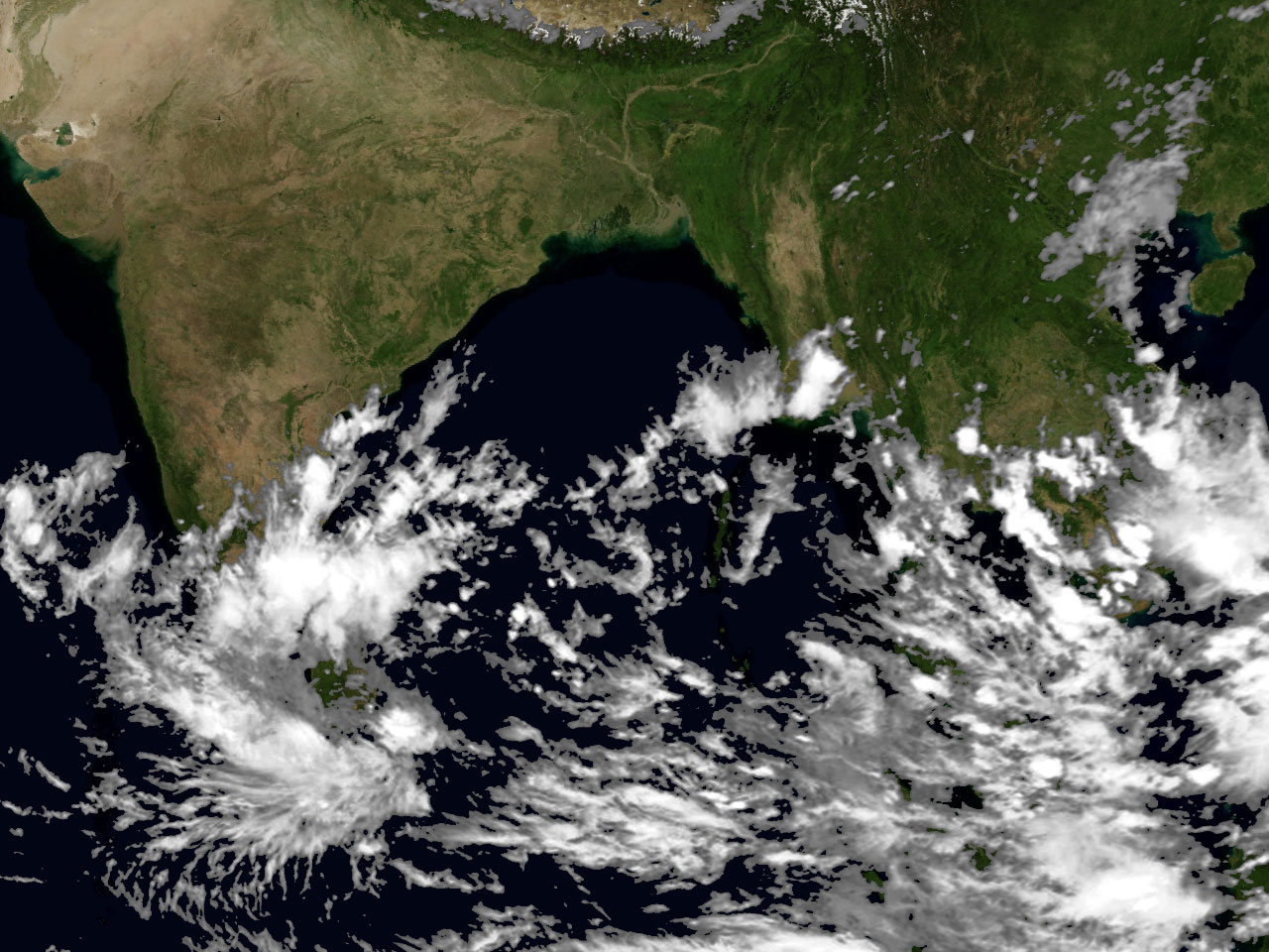
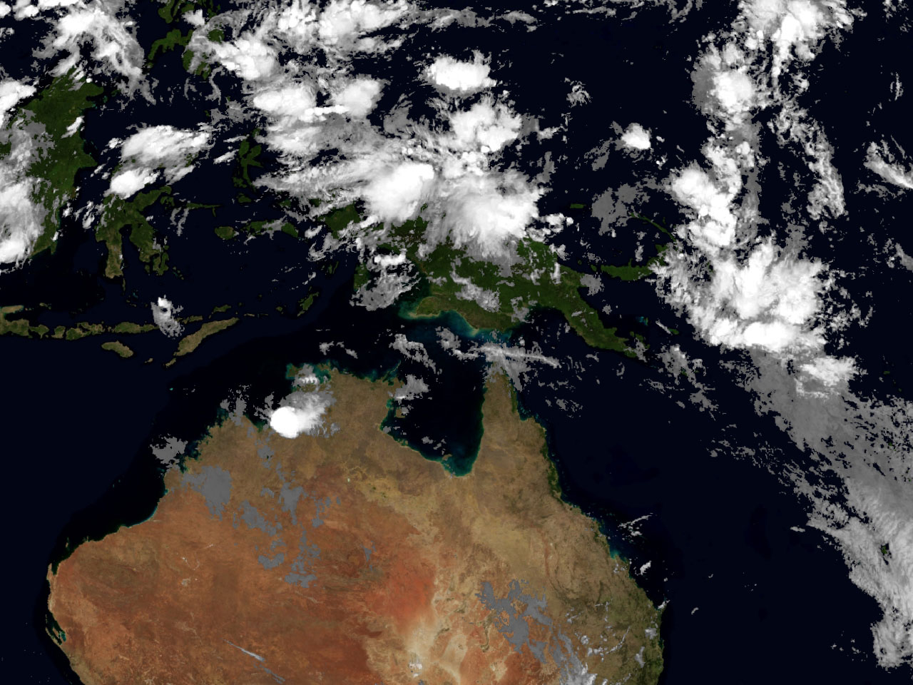
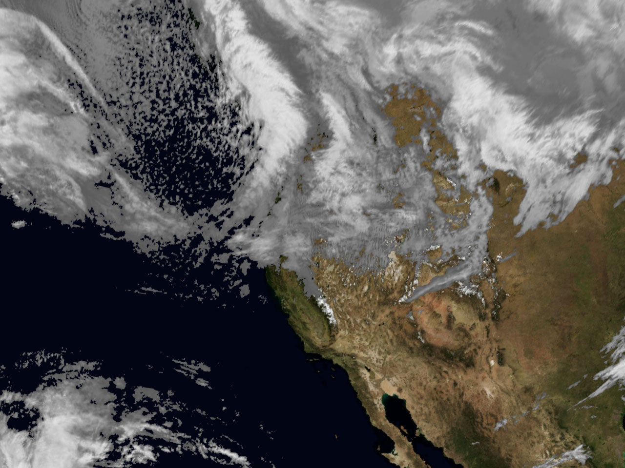
Weather information projected over the Blue Marble background with GeoSatSignal
Please be aware that the cloud filter used for the above images has not yet been optimized for the different application requirements. As can be appreciated, a very uniform look is given to all corners of the globe.
| ||||||||||||||||||||||||||||||||||||||||||||