|
|
|
|
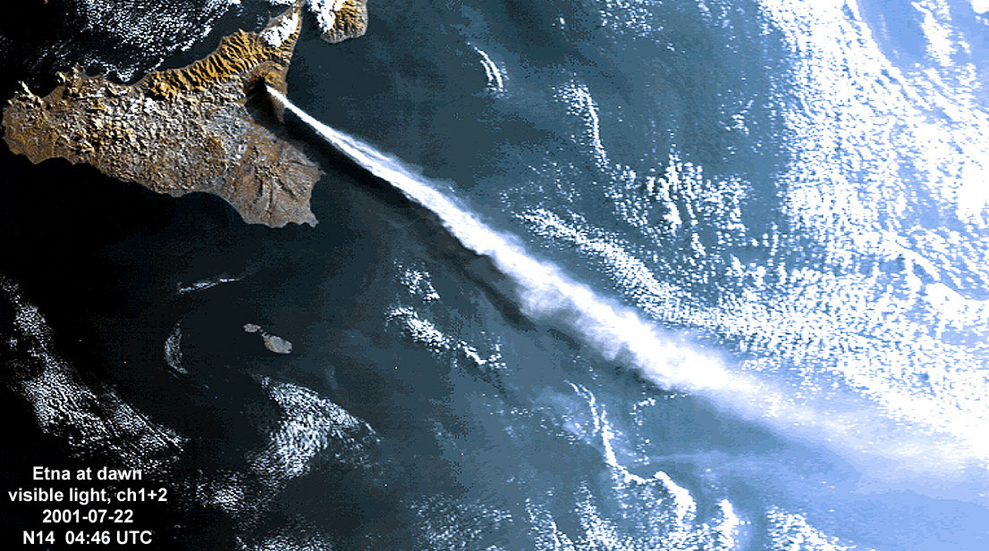
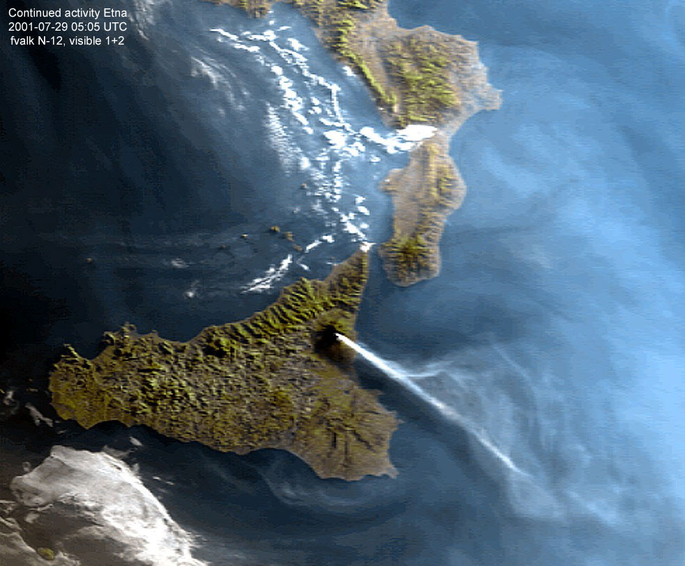
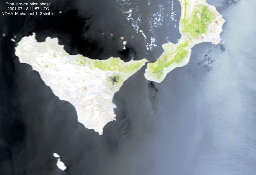
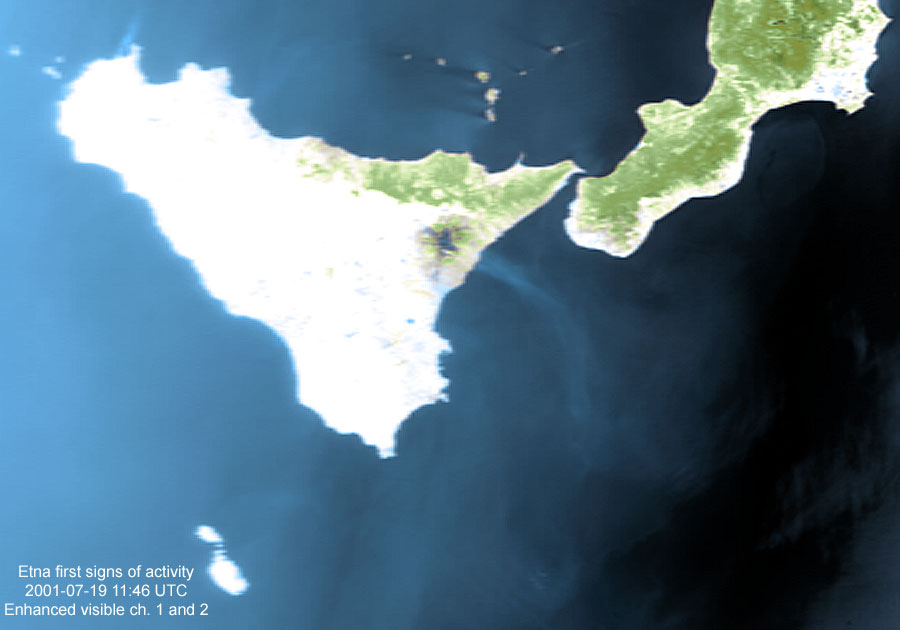
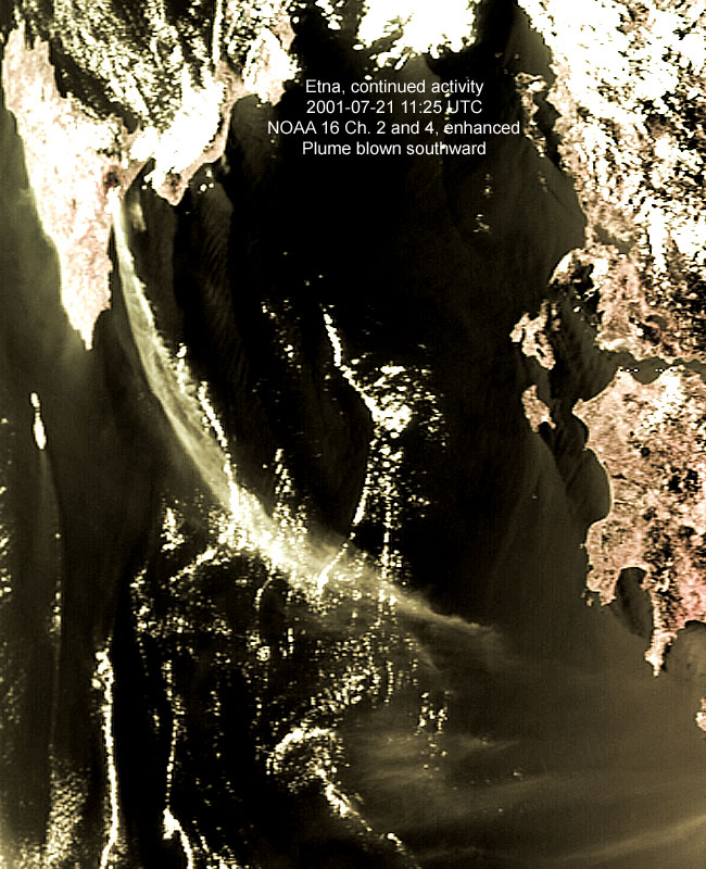
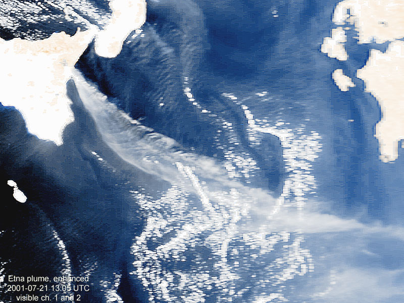
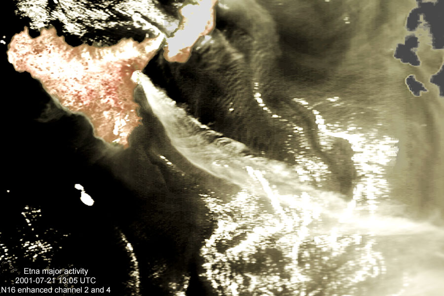
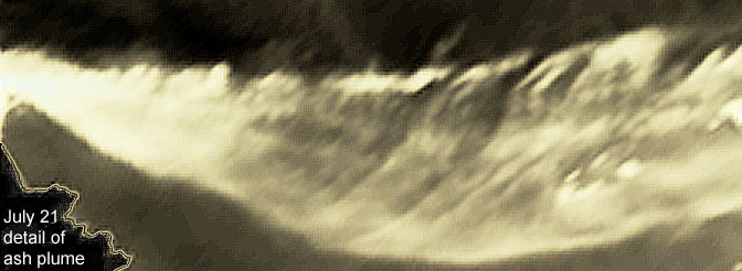
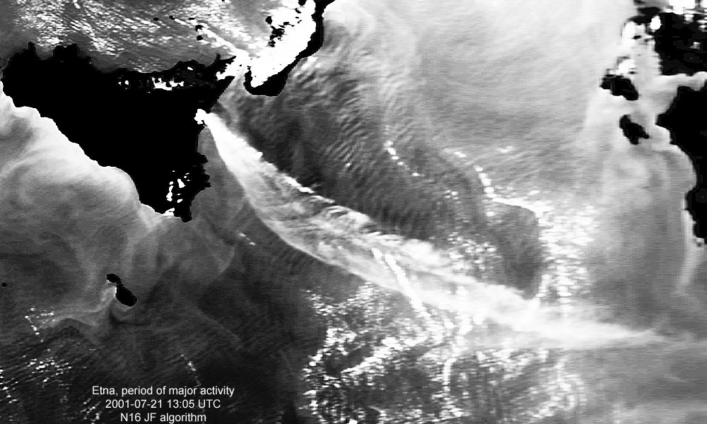
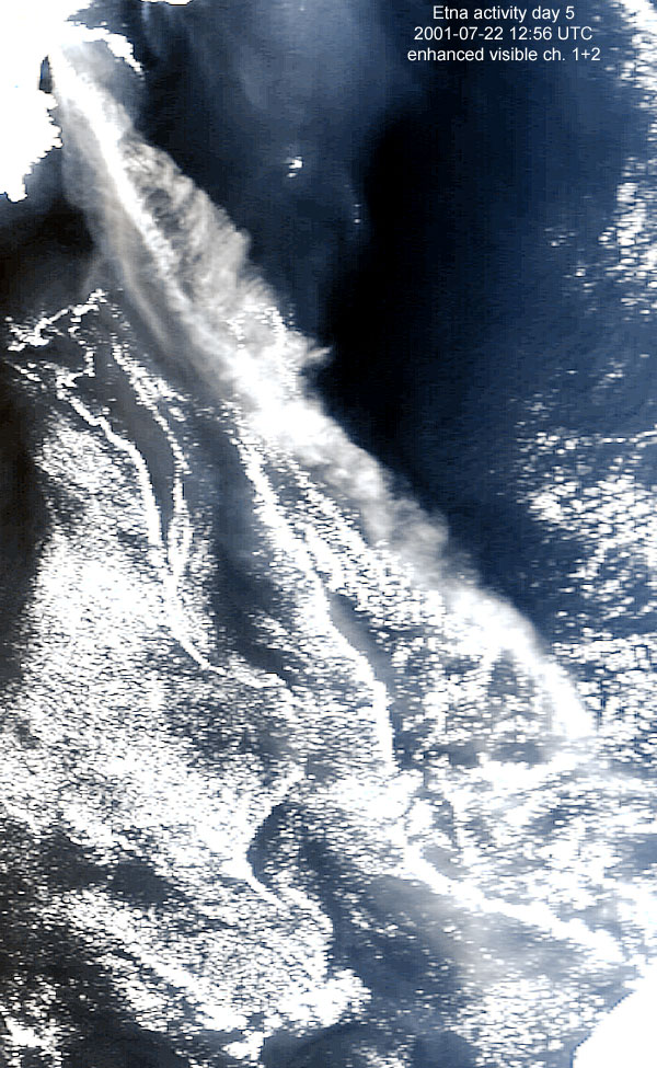
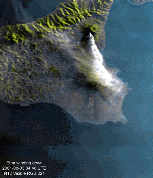
Satellite Images, Meteorology, Weather, Space, Planets, Moons, Arctic July 2001 Various views of the activity of Mt. Etna on Sicily, Italy starting mid July 2001. Situated on the east coast of the Italian Island of Sicily, mount Etna went through a series of major volcanic eruptions during the second half of July 2001. Below is a gallery of images captured during the period of activity that extended from July 18 through to the beginning of August 2001.
The image above was published by NOAA as image of the day on July 23, 2001 and ran on the news on several major US TV stations as well as in Europe.
Above images were made at sunrise with the sun still skimming the horizon. The difference in lighting between NOAA 12 and 14 (1 1/2 minute apart) is not artificial but due to the difference in sensitivity between the sensors of both satellites. Other Etna images:
| |||||||||||||||||||||||||||||||||||||||||||||||||||||||||||